Weather radarThis week's issue · 22 November to 28 November

Where it snows this week

The west gets the most new snow, Switzerland is close behind.

New snowRainSnow above 500 m

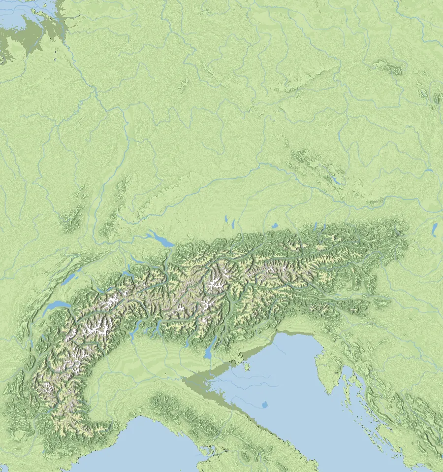
Weather radar Alps

Where the snow falls

Head out

Where to go this week

  1. 1 · Chamonix

    Most new snow this week

    The west leads the way

    This is where the most snow falls this week in the Alps, followed by Val Thorens and Engelberg. Most areas only open at the end of November, but this is where winter arrives first.

    87 cmnew snow at summit level until Tuesday

  2. 2 · Val Thorens

    Monday: worth an early start

    Powder overnight

    Val Thorens gets a fresh layer overnight. Up early means first tracks, and off-piste you carry a transceiver, probe and shovel.

    73 cmat summit level by Monday morning

  3. 3 · Crans-Montana

    Weekend tip

    Fresh snow for the weekend

    Fresh snow arrives here this weekend, up on the mountain first.

    48 cmat summit level over the weekend

All areas

Weather in every ski area

New snow up to the last forecast day, plus today's high and weather. The seven-day forecast is on each area's page.

Data from today, 05:20 · Open-Meteo

Austria29 areas
  • Dachstein WestSnowfall · 2 °C11 cm
  • GasteinSnowfall · 7 °C15 cm
  • Hall-WattensSnowfall · 1 °C5 cm
  • Hintertuxer GletscherRain · 4 °C9 cm
  • HochfügenSnowfall · 2 °C12 cm
  • IschglRain · 4 °C26 cm
  • Kals-MatreiRain · 3 °C8 cm
  • KitzbühelRain · 5 °C6 cm
  • KitzsteinhornSnowfall · -2 °C11 cm
  • Lech ZürsSnowfall · 3 °C19 cm
  • MayrhofenRain · 7 °C10 cm
  • NassfeldSnowfall · 0 °C11 cm
  • Obergurgl-HochgurglSnowfall · 1 °C12 cm
  • ObertauernSnowfall · 1 °C11 cm
  • Ramsau am DachsteinSnowfall · 3 °C13 cm
  • Saalbach HinterglemmRain · 4 °C8 cm
  • Salzburger SaalachtalRain · 6 °C7 cm
  • Schladming-DachsteinRain · 3 °C13 cm
  • SeefeldSnowfall · 4 °C4 cm
  • Silvretta MontafonSnowfall · 2 °C22 cm
  • Ski JuwelRain · 4 °C9 cm
  • Snow Space SalzburgRain · 4 °C12 cm
  • SöldenSnowfall · 4 °C14 cm
  • St. AntonRain · 3 °C26 cm
  • Stubaier GletscherSnowfall · 2 °C15 cm
  • StubaitalRain · 6 °C8 cm
  • Tannheimer TalSnowfall · 3 °C15 cm
  • Weißsee GletscherweltSnowfall · 5 °C9 cm
  • ZauchenseeSnowfall · 1 °C12 cm
Germany7 areas
  • FeldbergSnowfall · 1 °C11 cm
  • Garmisch-PartenkirchenRain · 4 °C10 cm
  • OberstdorfRain · 3 °C17 cm
  • Reit im WinklRain · 6 °C7 cm
  • SudelfeldSnowfall · 3 °C7 cm
  • WillingenFog · 3 °Cunder 1 cm
  • WinterbergFog · 3 °Cunder 1 cm
Switzerland10 areas
  • AdelbodenSnowfall · 5 °C46 cm
  • Arosa LenzerheideSnowfall · -4 °C23 cm
  • Crans-MontanaSnowfall · 2 °C13 cm
  • Davos KlostersRain · 2 °C24 cm
  • EngelbergRain · 5 °C41 cm
  • LaaxRain · 4 °C21 cm
  • Saas-FeeSnowfall · 2 °C21 cm
  • St. MoritzSnowfall · 0 °C19 cm
  • WengenRain · 4 °C26 cm
  • ZermattSnowfall · 5 °C17 cm
Italy9 areas
  • Alta BadiaSnowfall · 1 °C13 cm
  • BormioSnowfall · 1 °C11 cm
  • Cortina d’AmpezzoSnowfall · 3 °C20 cm
  • Drei ZinnenSnowfall · 0 °C13 cm
  • GrödenSnowfall · 1 °C14 cm
  • KronplatzSnowfall · -3 °C6 cm
  • ObereggenSnowfall · 2 °C14 cm
  • PloseSnowfall · -1 °C5 cm
  • Ratschings-JaufenRain · 2 °C11 cm

Season 2026/27

Where the snow already lies

  1. 1 OctoberSeason startThe glaciers are open, the valleys are still in autumn.
  2. Until 11 OctoberThe west firstChamonix, St. Moritz and Bormio collect the first snow.
  3. Week from 16 NovemberThe strongest week so farMost snow falls in the west, around Chamonix and Adelboden.
  4. 22 NovemberThis weekThe snow line drops to around 500 m by Friday.
  5. From late NovemberThe big resorts openFrom then on, the weather radar shows every Monday where it's worth going.

Leading so far

  1. Chamonix171 cm since the season started
  2. Adelboden75 cm
  3. Saas-Fee59 cm

Gear

Ready for the first snow

Weather data: Open-Meteo (CC BY 4.0). Relief: elevation Mapzen Terrain Tiles, water Natural Earth.